Built on Reality. Driven by Intelligence.
We scan your property by air and on foot, then build a 3D twin your team can question.
Real-world detail. Property-wide perspective.
Interiors, exteriors and the ground around them, in one connected model. Walk the property from your desk, take measurements, and plan with a clear picture of what’s actually there.
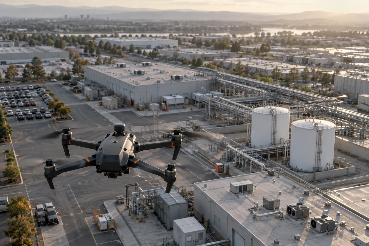
From the air
Drones with high-resolution mapping cameras fly our own flight plans, built for each property and repeated on schedule for active job sites.
- Crosshatch grids for complete, even coverage
- Oblique passes that capture every facade
- Orbits around towers, tanks and tall structures
- Recurring flights that track construction progress
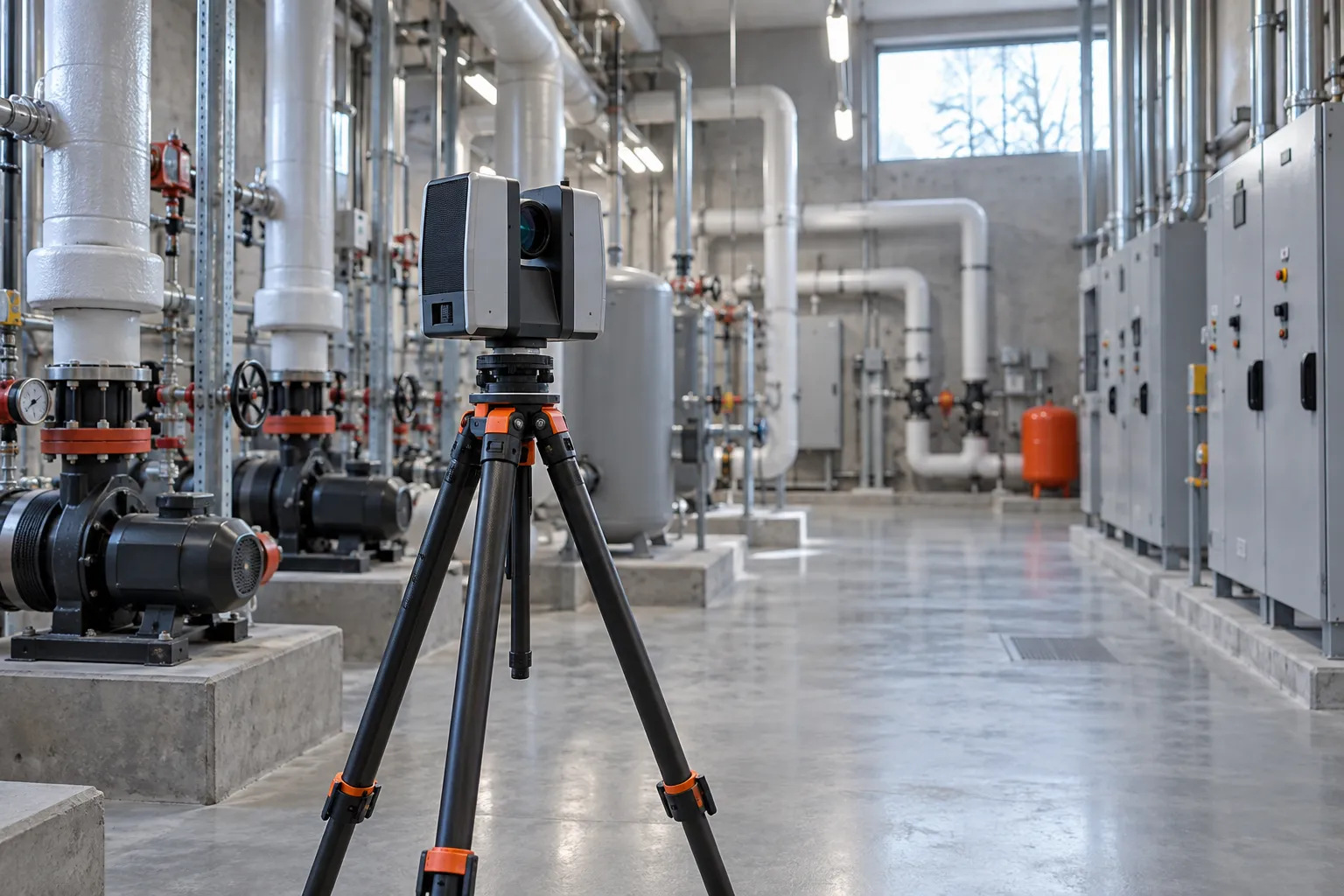
On the ground
Terrestrial and mobile LiDAR scanners record interiors, mechanical rooms, corridors and building facades at millimeter-level detail.
- Every floor, room and corridor
- Equipment, shutoffs and access points
- Areas no drone can see from above
Fused into one twin
Our processing pipeline lines up air and ground data on the same coordinates and builds a single, georeferenced model of the entire site.
- Outside and inside in one continuous model
- Survey-grade accuracy across the whole property
- Ready for Petrivara IQ the moment it's delivered
From first visit to first answer.
One capture becomes the shared source of truth for everyone who runs, secures, maintains or responds to a place. Here’s how we get you there.
Plan
We learn the site with your team, agree on what matters most, and build a flight and scan plan that works around live operations.
Capture
Drone flights and LiDAR scanners record every interior and exterior surface to survey-grade accuracy.
Build and connect
Scans become one navigable 3D model with floors, rooms and assets identified. Cameras, access control and work orders are pinned to their exact location.
Ask and keep current
Your teams ask Petrivara IQ about the site, share views with responders, and rescan on schedule to track what changes.
Ask your site a question.
Every twin comes with Petrivara IQ, our AI layer for site intelligence. Ask in plain English and get an answer pinned to the exact place it refers to. Try one:
Answers are pinned to the floor plan
One twin for every team that runs the place.
We run the whole chain, from the scanner on site to the answer on screen, so the twin stays accurate long after delivery day. Each team gets what it needs from the same model.
Facilities and maintenance
Find equipment, shutoffs and service history in seconds. Building systems and maintenance platforms sit at their real location, so a work order points to the exact unit on the exact roof.
Security teams
Cameras, access control and alarms placed where they actually are, so you can see what each camera covers and where the blind spots sit before they matter.
First responders
Responder-ready floor plans, shutoffs and access points, shared securely with police, fire and EMS, and revoked whenever you choose.
Construction and project owners
Repeat flights on the same plan compare progress week over week, measure stockpiles and earthwork, and surface deviations from plan before they become rework.
Leadership, insurers and auditors
A dated, measurable record of the site’s condition for claims, audits and capital planning, with every capture kept for comparison.
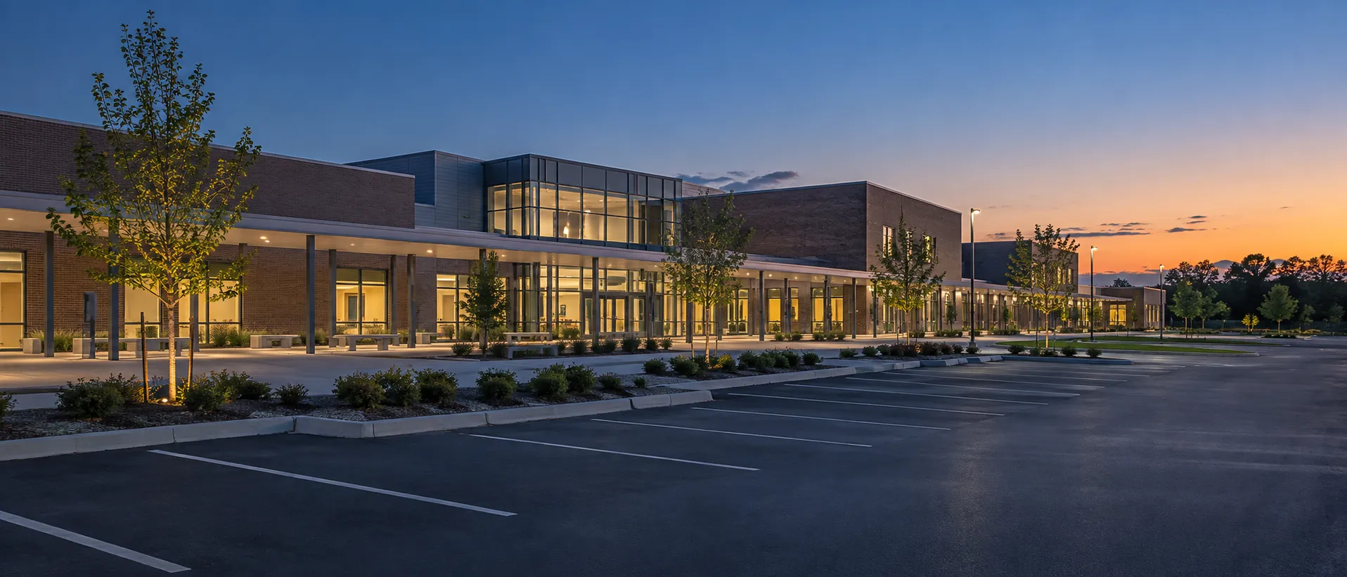
Built for places that can’t afford guesswork.
If people work, gather or depend on it, it deserves an accurate twin.
Campus-wide twins that support safety mapping requirements, facilities planning and coordination with first responders.
Schools and campusesData centers, government buildings and secure sites, mapped for security planning, access control and continuity of operations.
Critical facilitiesPlants, substations and pipelines documented for remote inspection, so fewer people go where access is dangerous or slow.
Energy and utilitiesScheduled flights on the same plan every time, plus ground scans for as-built records, give owners and contractors one shared, current view of the job site.
ConstructionMulti-wing navigation, equipment locations and maintenance history for hospitals where every minute counts.
Healthcare
Built in the US. Hosted in the US.
A digital twin of your facility is sensitive data. Petrivara’s software is written in the United States and runs on US-based servers, with encryption, multi-factor sign-in and full audit logging as standard.
US-based code
Our platform, processing pipeline and Petrivara IQ are developed by our own team in the United States. No offshore development.
US-based servers
Every scan, model and query is stored and processed in US data centers.
Security by default
Encryption in transit and at rest, role-based access, multi-factor authentication and full audit logging, held to the standard of the critical facilities we serve.
You control access
Decide exactly who sees each twin, from your own teams to local police, fire and EMS, and revoke access at any time.
Start with one site.
Tell us about the place you want to twin. We’ll walk you through capture, timelines and what your team gets on day one.